Belmopan. July 13, 2021. 5:20 p.m.
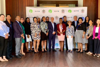
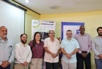
On July 12 and 13, the Ministry of Natural Resources, Petroleum and Mining conducted a capacity building workshop for land inspectors countrywide on the use of satellite images for land inspection, at the Jaguar Lab, University of Belize, Belmopan Campus.
This upgrade reinforces the ministry’s commitment to technology advancement in the field of land management. Immediately, it results in the direct benefit of timely service delivery and improved customer satisfaction.
The training was facilitated by Mr. Alfred Cal, GIS analyst/senior land information officer. He was assisted by Mr. Elam Torres, land information officer.
Ends


